File:Antarctica relief location map.jpg
Jump to navigation
Jump to search

Size of this preview: 600 × 600 pixels. Other resolutions: 240 × 240 pixels | 480 × 480 pixels | 768 × 768 pixels | 1,024 × 1,024 pixels | 1,493 × 1,493 pixels.
Original file (1,493 × 1,493 pixels, file size: 459 KB, MIME type: image/jpeg)
Summary
| Description |
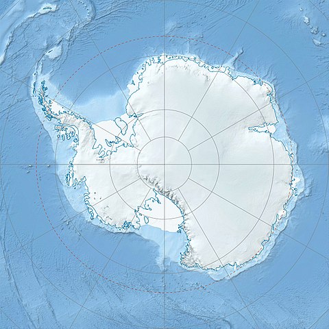
Deutsch: Physische Positionskarte Antarktis, Mittabstandstreue Azimutalprojektion
English: Physical Location map Antarctica, Azimuthal equidistant projection
|
| Date | |
| Source |
Own work
|
| Author | Alexrk2 |
| Other versions |
|

Derivative works


|
This map has been made or improved in the German Kartenwerkstatt (Map Lab). You can propose maps to improve as well.
|
Licensing
I, the copyright holder of this work, hereby publish it under the following license:
This file is licensed under the Creative Commons Attribution-Share Alike 3.0 Unported license.
- You are free:
- to share – to copy, distribute and transmit the work
- to remix – to adapt the work
- Under the following conditions:
- attribution – You must give appropriate credit, provide a link to the license, and indicate if changes were made. You may do so in any reasonable manner, but not in any way that suggests the licensor endorses you or your use.
- share alike – If you remix, transform, or build upon the material, you must distribute your contributions under the same or compatible license as the original.
File history
Click on a date/time to view the file as it appeared at that time.
| Date/Time | Thumbnail | Dimensions | User | Comment | |
|---|---|---|---|---|---|
| current | 07:52, 26 July 2017 | | 1,493 × 1,493 (459 KB) | wikimediacommons>Amga | Reverted to version as of 16:03, 3 May 2011 (UTC). This is used in location maps, so don't rotate it! |
File usage
The following 3 pages use this file:
Global file usage
The following other wikis use this file:
- Usage on miraheze.org
- Usage on doomsdaydebunked.miraheze.org
- Usage on microtonal.miraheze.org
- Usage on spectrumentertainment.miraheze.org
- Usage on wikiyribangla.miraheze.org
- Usage on ysmwiki.miraheze.org

